
Beyond Maps: Building Smarter Organizations Through Geospatial Intelligence
Today, every organization is generating location-based data — from infrastructure assets and utility networks to customers, cities, and environmental information.
But data alone does not create value.
The real challenge is transforming this information into actionable intelligence that helps organizations plan better, operate efficiently, and make faster decisions.
This is where modern GIS solutions make a difference.
At iSpatial Techno Solutions (IST), we help governments, utilities, and enterprises unlock the power of location intelligence through Enterprise GIS, GeoAI, Digital Twins, Utility Network, Cloud GIS, and AI-powered geospatial solutions.
As a global GIS solution company, IST enables organizations across the USA, UAE, Netherlands, and the Middle East to modernize operations and build smarter, connected, and resilient systems.
Why Modern GIS Solutions Matter
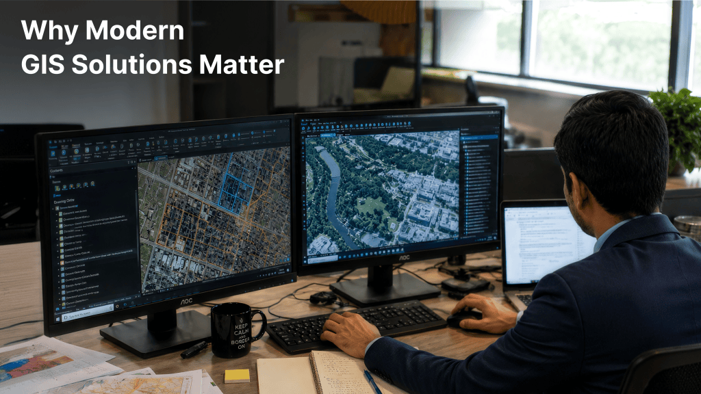
Traditional GIS was primarily used for mapping and visualization.
Today, GIS has evolved into an intelligent decision-making platform that connects:
Organizations now need GIS solutions that can answer critical questions:
- Where are our highest-risk assets?
- How can we optimize operations?
- What will happen if a failure occurs?
- Where should we invest next?
- How can we improve customer services?
Modern GIS provides the intelligence needed to answer these questions and allows organizations to move from simply answering:
“What happened?”
to answering
“What is happening now?”
And even
“What is likely to happen next?”
This shift transforms GIS from a mapping tool into a decision intelligence platform.
IST GIS Solutions: From Data to Intelligence
At IST, we design GIS solutions that solve real business challenges.
Our approach combines:
✔ Industry expertise
✔ Advanced geospatial technology
✔ Enterprise architecture
✔ AI-driven analytics
✔ Cloud modernization
We help organizations move from disconnected data systems to intelligent geospatial ecosystems.
Our Key GIS Capabilities
Enterprise GIS Solutions
We help organizations build scalable GIS platforms that support enterprise-wide operations.
Our Enterprise GIS solutions enable:
- Centralized spatial data management
- Web and mobile GIS applications
Utility GIS & Utility Network Solutions
Utilities require accurate and connected information to manage thousands of assets efficiently.
IST helps electric, water, and gas utilities modernize their networks through:
- Utility Network implementation
For utilities in regions such as Houston, Texas, Abu Dhabi, Dubai, Bahrain, and the Middle East, IST enables smarter grid operations and improved reliability.
GeoAI: Making GIS Intelligent

Artificial Intelligence is transforming how organizations use spatial data.
IST integrates GeoAI capabilities to help organizations:
- Automate spatial analysis
- Identify patterns and risks
- Generate predictive insights
- Improve operational decisions
- Interact with GIS through intelligent AI workflows
With GeoAI, organizations move from reactive decisions to proactive intelligence.
Digital Twin & Smart City Solutions

Cities and infrastructure are becoming increasingly complex.
IST develops GIS-powered Digital Twin solutions that help organizations:
- Monitor assets in real time
- Simulate future scenarios
- Optimize infrastructure management
From smart cities in Dubai and Abu Dhabi to government initiatives worldwide, GIS-powered Digital Twins are enabling smarter communities.
Cloud GIS Modernization
As organizations expand their GIS capabilities, traditional infrastructure often becomes a limitation.
IST helps organizations migrate GIS environments to the cloud with:
Cloud GIS enables organizations to operate faster, smarter, and more efficiently.
Sustainability Through GIS Intelligence

Environmental challenges require accurate location-based insights.
IST supports sustainability initiatives through:
- Water and marine monitoring
By combining GIS, IoT, and AI, organizations can better understand environmental impacts and make sustainable decisions.
This shift transforms GIS from a static mapping system into an operational intelligence platform.
Why Choose IST as Your GIS Solution Partner?
Industry-Focused Expertise
We understand that every industry has unique challenges.
Our GIS solutions support:
Complete GIS Lifecycle Support
Our process covers the complete GIS journey:
1. Discover
Understand business objectives and challenges.
2. Design
Create the right GIS architecture and roadmap.
3. Implement
Develop applications, workflows, and integrations.
4. Modernize
Enable cloud, AI, and automation.
5. Optimize
Continuously improve performance and value.
Global GIS Expertise
iSpatial Techno Solutions (IST) delivers advanced geospatial, AI, and GenAI solutions powered by Esri technology. Headquartered in Texas, USA, with offices in Abu Dhabi (UAE), Bahrain, the Netherlands, and India, IST partners with government agencies, utilities, energy companies, and environmental organizations across North America, the Middle East, Europe, and Africa to accelerate digital transformation through Enterprise GIS, Utility Network modernization, GeoAI, Digital Twins, and cloud GIS solutions.
The Future of GIS is Intelligent
The future of GIS is no longer just about maps.
It is about creating intelligent systems that understand location, analyze patterns, predict outcomes, and support better decisions.
At iSpatial Techno Solutions (IST), we combine GIS, AI, Digital Twins, Cloud, and Location Intelligence to help organizations build smarter operations and a more connected future.
Frequently Asked Questions
What is a GIS solution?
A GIS solution helps organizations collect, manage, analyze, and visualize location-based data to improve decision-making.
Why should businesses invest in GIS solutions?
GIS helps organizations improve efficiency, optimize resources, manage assets, reduce risks, and make informed decisions.
Which industries use GIS solutions?
GIS is widely used in utilities, government, smart cities, oil & gas, transportation, infrastructure, and sustainability.
What makes IST different from other GIS solution companies?
IST combines deep GIS expertise, industry knowledge, Esri ecosystem experience, GeoAI capabilities, and enterprise implementation expertise to deliver practical business solutions.
Does IST provide GIS solutions globally?
Yes. IST provides GIS solutions across the USA, UAE, Netherlands, Middle East, and global markets.
Can IST help migrate legacy GIS systems?
Yes. IST assists organizations in modernizing legacy GIS infrastructure through cloud migration, enterprise GIS deployment, data migration, and workflow automation.
Partner with IST for Your GIS Transformation
Whether you need Enterprise GIS modernization, Utility Network implementation, GeoAI solutions, Digital Twins, or Cloud GIS transformation, IST helps turn location data into business intelligence.
Connect with iSpatial Techno Solutions and unlock the power of geospatial intelligence.