The Key to Building Smarter, Resilient Communities
State and local governments are under increasing pressure to manage urban growth, improve public infrastructure, and deliver community services more efficiently. As cities expand and environmental challenges rise, outdated Geographic Information System (GIS) infrastructure becomes a major obstacle—not only to urban planning but also to effective asset management and service delivery in public works and utilities. Governments often struggle to access real-time data, making it harder to make informed decisions that could improve living conditions, boost economic development, and drive sustainability.
However, modernizing GIS systems is no longer optional—it is a necessity for creating smarter, more resilient communities. As technology advances, so do expectations for governments to leverage location intelligence, artificial intelligence (AI), and real-time data to enhance decision-making and public service delivery. iSpatial Techno Solutions is helping government bodies across the globe meet these challenges by delivering innovative, AI-powered geospatial solutions designed to transform urban planning, infrastructure management, and regulatory compliance.
Overcoming Challenges in GIS Infrastructure Modernization
Modernizing GIS platforms is often a complex, resource-intensive task. Legacy systems are frequently siloed, incompatible with newer technologies, and unable to handle the volume of real-time data required for effective urban management. This leads to inefficiencies, data inconsistencies, and missed opportunities. For governments looking to upgrade their systems, the challenge is not only in adopting new technology but in making sure it is scalable, secure, and aligned with industry best practices.
That’s where iSpatial Techno Solutions comes in. Our suite of advanced geospatial solutions is designed to help governments modernize their GIS infrastructure through secure, scalable cloud enablement. We focus on creating seamless integrations with existing systems, ensuring that governments can access, analyze, and act on real-time data effectively. Our solutions adhere to industry standards and follow Esri best practices, guaranteeing that the technology will remain relevant and adaptable to future needs.
Empowering Public Works and Utilities through Smarter Asset Management
Effective asset management is the backbone of sustainable community development. In the realm of public works and utilities, having a modern GIS platform means more than just mapping—it means managing physical infrastructure like roads, water lines, storm drains, and streetlights with precision and insight.
iSpatial Techno Solutions enables state and local governments to track, maintain, and optimize these assets in real-time using AI and IoT-integrated solutions. Our technologies break down data silos, improve maintenance planning, predict asset failures, and prioritize infrastructure investments—ensuring taxpayer funds are used efficiently while improving service reliability and safety for citizens.
From managing utility poles and pipelines to overseeing public parks and urban mobility systems, our tools empower agencies to modernize infrastructure and extend asset lifecycles. These capabilities strengthen operational efficiency and resilience, especially in times of climate-related or infrastructure-related disruptions.
Leveraging Real-Time Data and AI for Smarter Decision-Making
At the heart of iSpatial Techno Solutions' approach is our commitment to helping governments harness the full potential of real-time data and AI-driven analytics. Real-time monitoring is crucial for efficient decision-making in urban planning and environmental management. By integrating IoT sensors into GIS platforms, we enable state and local governments to monitor critical environmental factors such as air and water quality, noise levels, and more.
Our platform offers specialized capabilities like tree canopy analysis, which helps cities maintain green spaces, and site planning for deploying electric vehicle (EV) charging stations—both essential for supporting sustainability goals. Additionally, we help optimize 5G networks, predict pole risk, and manage land records digitally, streamlining asset management and urban planning processes. These capabilities empower governments to take timely actions, mitigate risks, and improve the quality of life for their citizens.
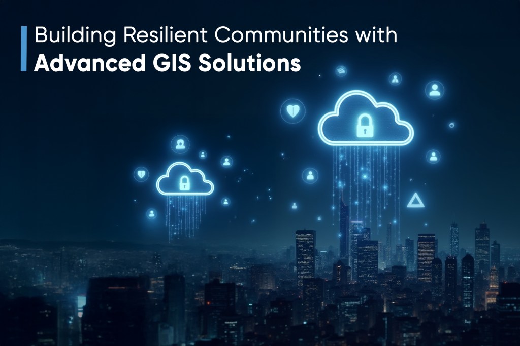
Building Resilient Communities with Advanced GIS Solutions
The transition to modern GIS infrastructure is more than just upgrading technology; it’s about building smarter, more resilient communities. Through our geospatial solutions, we help governments enhance environmental monitoring, optimize land and asset management, and strengthen their public works systems. Our tools also empower cities to manage resources more efficiently, support sustainable urban growth, and ensure regulatory compliance.
For example, cities and municipalities can use our advanced analytics to predict environmental hazards, track climate change impacts, and manage resources more effectively. By using real-time data, local governments can respond quickly to challenges such as flooding, pollution, and land degradation. Furthermore, our solutions enable better urban planning by providing accurate data on existing infrastructure, land use patterns, and environmental conditions.
The Future of Urban Management: Intelligent, Data-Driven Solutions
The future of urban management is undeniably tied to intelligent, data-driven solutions. iSpatial Techno Solutions provides the tools and expertise needed for governments to modernize their GIS platforms, incorporate real-time data, and apply AI-driven insights. By enhancing the accuracy and timeliness of decision-making, we help governments not only meet current demands but also prepare for future challenges.
Our commitment to cloud-enabled, scalable GIS solutions ensures that local and state governments can adapt to changing needs and technologies over time. We provide secure, interoperable systems that integrate seamlessly with other platforms, allowing governments to access a wide array of data sources and work efficiently with multiple stakeholders. By supporting public works modernization, asset lifecycle management, and data-led community development, we help governments turn challenges into opportunities for growth and sustainability.
Conclusion
As urban areas continue to grow, the need for modernized GIS infrastructure becomes more urgent. Governments must find ways to integrate real-time data, leverage AI analytics, and ensure their systems are scalable and secure. iSpatial Techno Solutions stands ready to support governments in this transformation, offering cutting-edge geospatial solutions that empower smarter decision-making, drive sustainability, and build resilient, data-driven communities.
Join us in shaping the future of urban management and governance. Let iSpatial Techno Solutions help you unlock the full potential of your GIS systems and move toward a smarter, more sustainable future.