Business Driver
Many cities continue to rely on legacy GIS desktop applications developed independently within departments such as Land Records, Vegetation, and Utilities. These applications, built on different technologies, lack integration, making it difficult to analyze information in a unified platform.
In addition, the absence of citizen engagement solutions and an open GIS data platform limits transparency, collaboration, and the ability to share valuable geospatial information with the public. To modernize city operations and citizen services, a strategic and unified approach to GIS is essential.
Solution
To address these challenges, the city adopted a Five-Year GIS Strategic Plan and Implementation Road Map, laying the foundation for a modern, enterprise-level GIS environment.
Key initiatives included:
- Building a Foundation GIS Environment to centralize geospatial data.
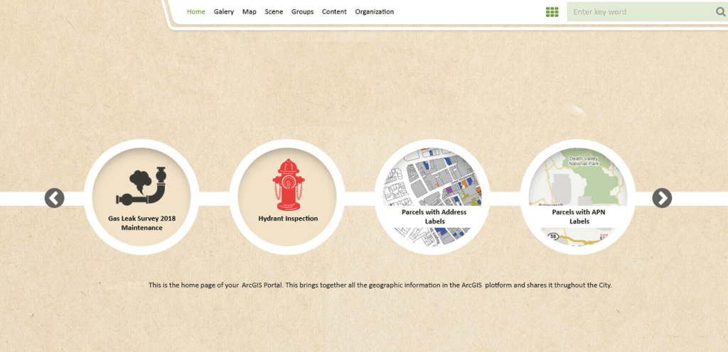
- Implementing Enterprise GIS Portal Solutions for cross-department collaboration.
- Deploying Geo-enabled Mobile Solutions to support field staff and streamline data collection.
- Developing Analytical Dashboards to empower decision-makers with real-time insights.
This holistic approach ensures that all departments work from the same geospatial platform, fostering data-driven governance and improved public engagement.
Value Proposition
The city’s new GIS strategy delivers measurable benefits:
- Foster operational decisions with centralized, accurate, and accessible geospatial data.
- Enhance citizen engagement through open GIS platforms and easy-to-use web solutions.
- Improve efficiency and service quality by enabling cross-departmental collaboration and eliminating data silos.
Technology
The solution is powered by robust, scalable technologies:
- ESRI ArcGIS Enterprise for enterprise-level geospatial management.
- Portal for ArcGIS to provide web-based GIS solutions and citizen access.
- Microsoft .NET for application integration and customization.
- Operations Dashboard for real-time monitoring, reporting, and decision-making.